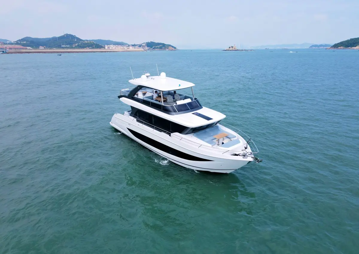
Modern yachts offer the perfect combination of elegance and adventure and carry the love of the sea. To sail a yacht on the sea, solid navigation skills are essential. Whether you're a novice or a seasoned veteran, it's important to master key navigation techniques. This article will take you through the basic navigation techniques for sailing a yacht at sea and help you get a smooth yacht ride.

Weather forecasting
The ability to accurately forecast the weather is a very important skill for sailors, as it is crucial to the safety of the yacht and its ability to reach its final destination. In modern sailing, the weather at sea can be unpredictable and an in-depth understanding of the weather is a skill that every sailor should have. This requires the sailor to carefully observe the wind and cloud changes to determine if a storm is approaching, and to keep an eye on local weather conditions. A barometer on board can be a very effective early warning tool, as it monitors changes in air pressure in real time. Today, many sailors use specialized route planning software applications to keep an eye on real-time weather forecasts.
Charts and Maps
The use of charts and maps is essential when navigating in vast and uncharted waters. These charts are more than simple depictions of the ocean's contours; they are guides that contain a wealth of information about the ocean, charts that show underwater topography, the course of the coastline, potential hazards, and the location of buoys, lighthouses, and more. Reading these markings allows you to plan a safe and efficient navigational route.
Electronic navigation systems
In today's maritime world, electronic navigation systems have become an important factor in ensuring safe and efficient navigation. Electronic navigation systems, including Global Positioning Systems (GPS), chart plotters and radar, have revolutionized the way mariners travel at sea.
GPS has an excellent ability to pinpoint a yacht's position, whether on the open sea or in narrow coastal waters, providing mariners with reliable positional information. Chart plotters, on the other hand, skillfully combine GPS technology with digital maps to create a dynamic navigational tool that not only clearly displays the mariner's current position, but also plans routes, tracks journey and marks any nearby hazards.
Radar can detect the tracks of nearby vessels and can be of great use in poor visibility conditions. However, these tools are not perfect and sometimes the signal may be lost due to interference from other factors. Therefore, the limitations of these tools need to be understood and traditional navigation techniques should not be ignored while using navigation systems.
Traditional navigation techniques
In the field of navigation, even though there are many advanced and latest navigation techniques, those old and traditional methods of navigation are also important. These traditional navigation methods provide a reliable back-up in the event of a failure of an electronic navigation system. An example of this is the waypoint projection method, which involves projecting the current position based on a known previous position, speed and time of travel, and direction. Although this is a traditional navigational technique, in practice it needs to be checked regularly to ensure that it is recorded accurately.
Mastering these traditional navigational skills allows every mariner to be fully prepared for their upcoming adventures at sea, and gives them the confidence that they can cope with the unexpected.
Tide judgement and coastal navigation
When navigating along the coast, it's crucial to have an accurate understanding of the tidal patterns, which determine the depth of the water, the position of the currents, and whether or not you'll be able to enter a certain area. A misjudgment of the tides is likely to result in the yacht running aground in shallow water or losing control in complex currents, threatening navigational safety.
Sailors therefore need to be skilled in interpreting tide tables and tidal stream charts, as they can provide information about when the tide is high or low, and when it will hit various places. Particularly when planning a route close to the coast, it is vital to have precise information about changes in water depth, which can help sailors effectively avoid potential hazards and prevent their yacht from running aground.
In addition to this, coastal navigation is a complex navigational technique. In addition to the understanding of tides and currents, sailors are also required to be familiar with the coastal geography, make full use of various navigation aids, and have the ability to quickly adapt to changing environments. Because in the actual navigation process, the situation at sea is ever-changing, and sudden changes in the weather may bring some trouble to the navigation process. Only by mastering these exquisite navigation techniques can sailors navigate smoothly in the complex maritime environment.